Menu
AerialSphere
Visualize More. Achieve More.
  • GIS Solutions
  • 360° Imagery Solutions
  • Professional Services
  • Resources
    • Contact Us
    • FAQs
    • XPGEO Documentation
    • XP360 Documentation
    • Blog
  • Sign In
Close Menu

Interactive Aerial Tour: Phoenix Sky Harbor International Airport (PHX)

Phoenix Sky Harbor International Airport (IATA: PHX, ICAO: KPHX, FAA LID: PHX) is a civil-military public airport 3 miles (2.6 nmi; 4.8 km) east of downtown Phoenix, in Maricopa County, Arizona, United States.[1] It is Arizona’s largest and busiest airport, and among the largest commercial airports in the United States; in 2019, PHX was the 13th-busiest airport in the United States and 44th-busiest in the world.[3] The airport serves as a hub for American Airlines and a base for Southwest Airlines. In 2019, American carried nearly 46% of all PHX passengers and employed nearly 9,500 people, making it the airport’s largest carrier.
Read more on Wikipedia.org

Related Posts

AS_Atlas_SEA

Airports

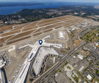
Interactive Aerial Tour: Seattle–Tacoma International Airport (SEA)

AS_Atlas_BFI

Airports

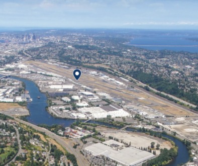
Interactive Aerial Tour: Boeing Field (BFI)

AS_Atlas_SLC

Airports

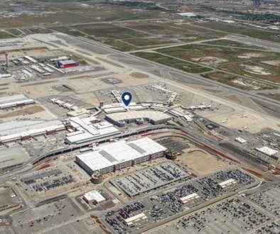
Interactive Aerial Tour: Salt Lake City International Airport (SLC)

AerialSphere

Unlock the full potential of your drones, cameras, and other sensors with our imagery solutions.

Find us On…

Solutions

  • AerialSphere for GIS
  • 360° Imagery Solution
  • Professional Services

Company

  • About Us
  • AerialSphere Blog
  • Careers
  • Contact Us
  • Sign In
© 2023 AerialSphere. All rights reserved   |   Privacy Policy  |   Terms of Use   |  Legal