Menu
AerialSphere
Visualize More. Achieve More.
  • GIS Solutions
  • 360° Imagery Solutions
  • Professional Services
  • Resources
    • Contact Us
    • FAQs
    • XPGEO Documentation
    • XP360 Documentation
    • Blog
  • Sign In
Close Menu

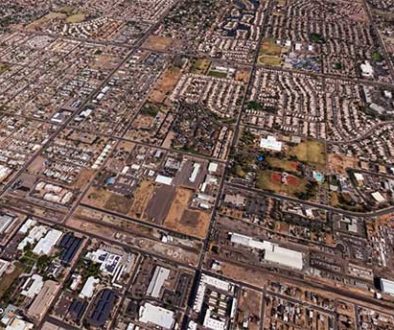
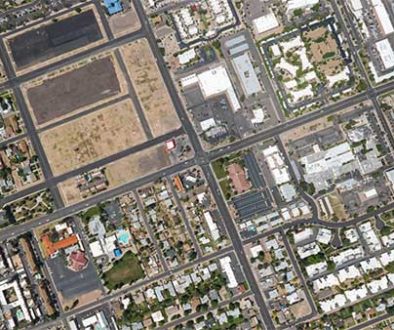
Interactive Aerial Tour: City of Scottsdale

Scottsdale is a city in the eastern part of Maricopa County, Arizona, United States, part of the Greater Phoenix Area. Named Scottsdale in 1894 after its founder Winfield Scott, a retired U.S. Army chaplain, the city was incorporated in 1951 with a population of 2,000. The 2019 population was estimated at 258,069.[4] Its slogan is “The West’s Most Western Town.”
Read more on Wikipedia.org

Related Posts

LAWildfire_377258931

Coverage, Press, Technology, US Cities

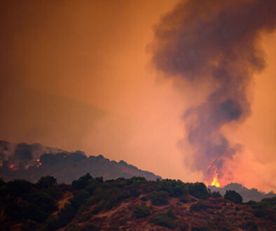
Supporting LA Wildfire Recovery with Pre-Fire 360° Imagery

atlas-chandler

US Cities

Interactive Aerial Tour: City of Chandler

atlas-mesa

US Cities

Interactive Aerial Tour: City of Mesa

AerialSphere

Unlock the full potential of your drones, cameras, and other sensors with our imagery solutions.

Find us On…

Solutions

  • AerialSphere for GIS
  • 360° Imagery Solution
  • Professional Services

Company

  • About Us
  • AerialSphere Blog
  • Careers
  • Contact Us
  • Sign In
© 2023 AerialSphere. All rights reserved   |   Privacy Policy  |   Terms of Use   |  Legal