Supporting LA Wildfire Recovery with Pre-Fire 360° Imagery
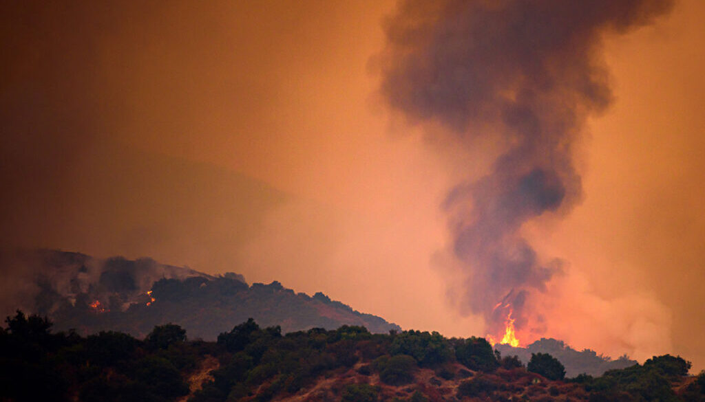
Access Pre-Fire Imagery for Eaton, Hurst, and Palisades Wildfires
The recent wildfires in Los Angeles—Eaton, Hurst, and Palisades—have left communities facing immense challenges. Recovery and rebuilding require accurate data and actionable insights to assess damage and plan effectively.
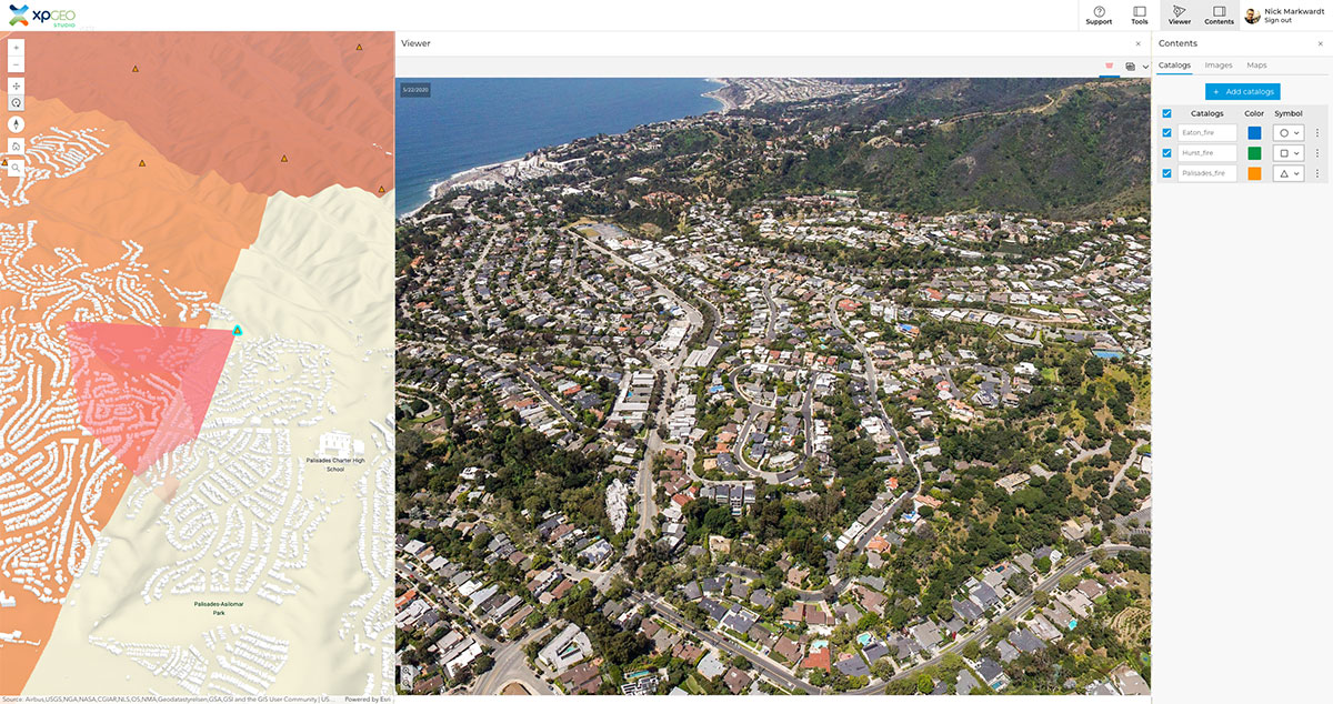
To support these efforts, AerialSphere is providing access to 360° aerial imagery captured in 2020. This pre-fire imagery is now available as Oriented Imagery Catalogs (OICs) for each affected area, offering GIS professionals and recovery teams a powerful tool to aid in wildfire recovery.
Why Use Pre-Fire 360° Imagery for Wildfire Recovery?
Accurate and actionable data is key to effective disaster response. Our Oriented Imagery Catalogs provide detailed, georeferenced imagery of affected areas, enabling you to:
- Assess damage: Compare pre- and post-fire conditions for a complete understanding of the impact.
- Plan recovery efforts: Leverage georeferenced imagery to prioritize and strategize rebuilding efforts.
- Enhance collaboration: Use intuitive visuals to align teams and stakeholders.
These OICs are compatible with industry-standard GIS tools like ArcGIS Pro and Experience Builder and are also accessible through XPGEO Studio, our web-based platform designed to simplify imagery workflows.
Explore Oriented Imagery Catalogs for LA Wildfire Zones
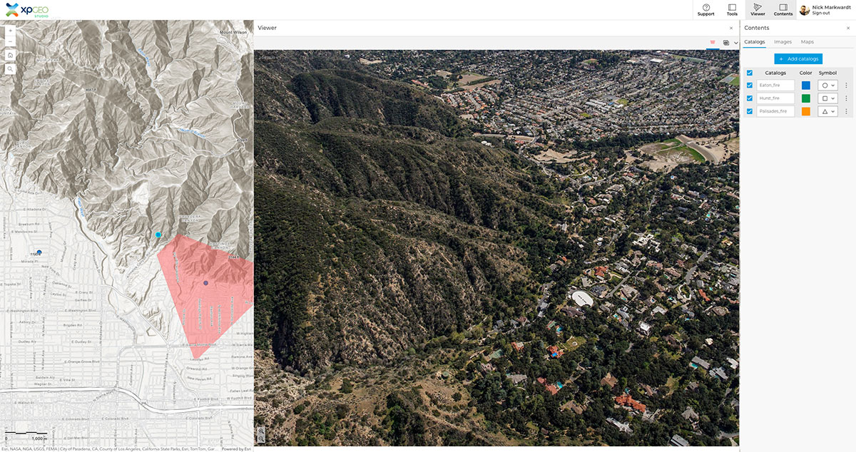
We’ve organized the 360° aerial imagery into three Oriented Imagery Catalogs, each tailored to a specific wildfire zone:
With these catalogs, you can easily navigate pre-fire imagery and integrate it into your GIS workflows to support recovery efforts.
Simplify Workflows with XPGEO Studio
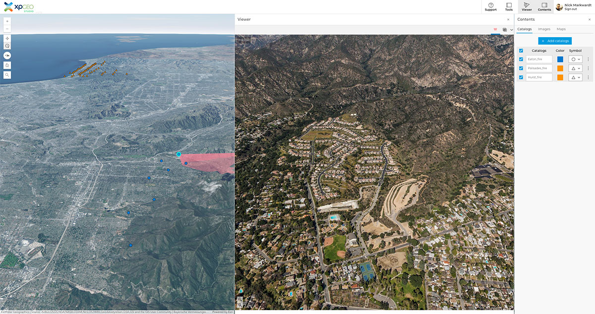
While these OICs are compatible with ArcGIS tools, XPGEO Studio provides a more user-friendly alternative for viewing and comparing pre- and post-fire imagery.
Key benefits of XPGEO Studio include:
- Intuitive, web-based interface for easy navigation
- Seamless integration with Oriented Imagery Catalogs
- Tools designed to simplify disaster response workflows
We offer a 30-day free trial of XPGEO Studio, always available to new users, so you can explore its features at no cost.
Get Started Today
If you’re working on wildfire recovery or planning efforts, AerialSphere’s pre-fire imagery and tools can provide the data and insights you need to make informed decisions.
To access the Eaton, Hurst, or Palisades fire catalogs, or to learn more about XPGEO Studio, click the links above or [insert call-to-action for access instructions or contact].
Together, we can support recovery efforts and help communities rebuild stronger.

