Menu
AerialSphere
Visualize More. Achieve More.
  • GIS Solutions
  • 360° Imagery Solutions
  • Professional Services
  • Resources
    • Contact Us
    • FAQs
    • XPGEO Documentation
    • XP360 Documentation
    • Blog
  • Sign In
Close Menu

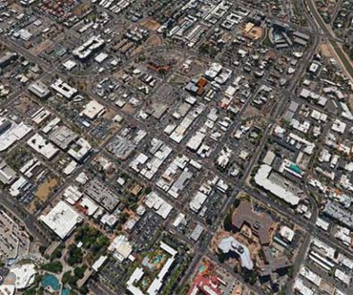
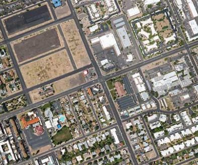
Interactive Aerial Tour: City of Chandler

Chandler is a city in Maricopa County, Arizona, United States, and a suburb of the Phoenix, Arizona, Metropolitan Statistical Area (MSA). It is bordered to the north and west by Tempe, to the north by Mesa, to the west by Phoenix, to the south by the Gila River Indian Community, and to the east by Gilbert. As of 2019, the population was estimated at 261,165 according to the United States Census Bureau.
Read more on Wikipedia.org

Related Posts

LAWildfire_377258931

Coverage, Press, Technology, US Cities

Supporting LA Wildfire Recovery with Pre-Fire 360° Imagery

atlas-scottsdale

US Cities

Interactive Aerial Tour: City of Scottsdale

atlas-mesa

US Cities

Interactive Aerial Tour: City of Mesa

AerialSphere

Unlock the full potential of your drones, cameras, and other sensors with our imagery solutions.

Find us On…

Solutions

  • AerialSphere for GIS
  • 360° Imagery Solution
  • Professional Services

Company

  • About Us
  • AerialSphere Blog
  • Careers
  • Contact Us
  • Sign In
© 2023 AerialSphere. All rights reserved   |   Privacy Policy  |   Terms of Use   |  Legal