Menu
AerialSphere
Visualize More. Achieve More.
  • GIS Solutions
  • 360° Imagery Solutions
  • Professional Services
  • Resources
    • Contact Us
    • FAQs
    • XPGEO Documentation
    • XP360 Documentation
    • Blog
  • Sign In
Close Menu

Interactive Aerial Tour: Reno-Tahoe International Airport (RNO)

Reno–Tahoe International Airport (IATA: RNO, ICAO: KRNO, FAA LID: RNO) is a public and military airport three miles (6 km) southeast of downtown Reno, in Washoe County, Nevada, United States. It is the state’s second busiest commercial airport after McCarran International Airport in Las Vegas. The Nevada Air National Guard has the 152nd Airlift Wing southwest of the airport’s main terminal. The airport is named after both the City of Reno, Nevada and Lake Tahoe. The airspace of Reno-Tahoe Airport is controlled by the Northern California TRACON and Oakland Air Route Traffic Control Center.
Read more on Wikipedia.org

Related Posts

AS_Atlas_SEA

Airports

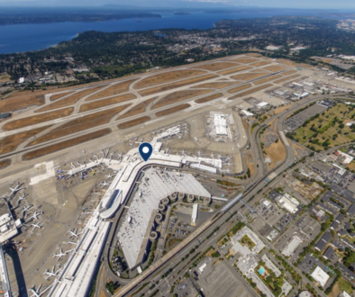
Interactive Aerial Tour: Seattle–Tacoma International Airport (SEA)

AS_Atlas_BFI

Airports

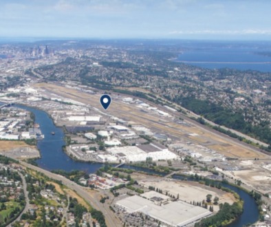
Interactive Aerial Tour: Boeing Field (BFI)

AS_Atlas_SLC

Airports

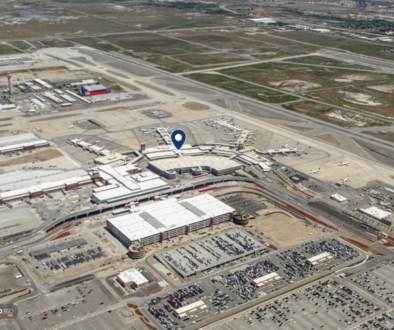
Interactive Aerial Tour: Salt Lake City International Airport (SLC)

AerialSphere

Unlock the full potential of your drones, cameras, and other sensors with our imagery solutions.

Find us On…

Solutions

  • AerialSphere for GIS
  • 360° Imagery Solution
  • Professional Services

Company

  • About Us
  • AerialSphere Blog
  • Careers
  • Contact Us
  • Sign In
© 2023 AerialSphere. All rights reserved   |   Privacy Policy  |   Terms of Use   |  Legal