Let’s Build Something Amazing
Wow Your Customers with Interactive Aerial Tours
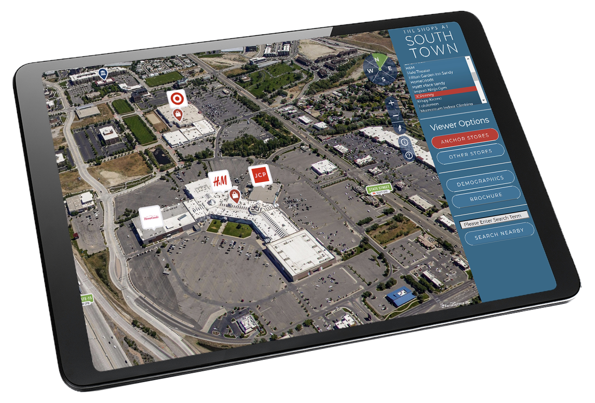
Combining immersive aerial experiences with pixel perfect location data, you, and your customers will be seeing locations, structures and topography from vantage points unavailable anywhere else. Our talented team of designers and developers can build your experience to your specifications, and unlike other 360-tours, our XP360 software makes updates easy; changes can even be in real time.
Request a demo today, and let us create something amazing for you.

Virtual Tours
Interactive Aerial Experiences
This unique vantage point provides valuable context for your project, product or service, and boost user engagement as you showcase the world below. Created with real estate, economic development, and local governments in mind, XP360 technology offers beautiful 360-degree aerial visualizations combined with precise, location-based data placement.
Simple code.
Endless vantage points.
Want to develop your own experiences? Our easy-to-use JavaScript Embed API enables fast and easy integration of XP360 experiences directly into your website, application or platform.
Industry Solutions
Combining our unique aerial imagery with location data is helping our clients redefine the way they view, analyze and make decisions about the world below.
MLS & IDX Providers
A new way to visualize homes, neighborhoods and points of interest.
CRM & Resellers
Better visualize your assets and make better decisions for future transactions.
Planners & Land Development
Easily integrate our imagery to provide an immersive new perspective on your community.


Start for Free
XP360 allows you to harness the power of our immersive aerial experiences for your company, business, or just for yourself.
Sign up today & experience maps like never before.